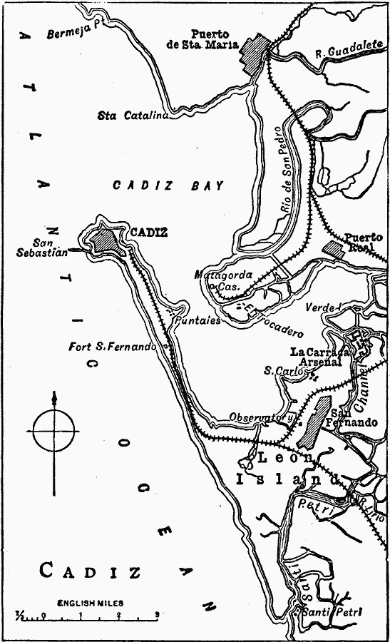
Description: A map of Cadiz and vicinity, a port in southwestern Spain, in 1919. The map shows Cadiz Bay, the cities of Cadiz, Puerto de Santa Maria, Puerto Real, and San Fernando, railways, rivers, and coastal features of the area.
Place Names: Spain, Cadi
ISO Topic Categories: transportation,
structure,
oceans,
inlandWaters,
location
Keywords: Cadiz, physical, �transportation, �political, physical features, local jurisdictions, railroads, transportation,
structure,
oceans,
inlandWaters,
location, Unknown, 1919
Source: Charles Morris, Winston's Cumulative Encyclopedia Vol 2 (Philadelphia, PA: The John C. Winston Company, 1919) tab 5
Map Credit: Courtesy the private collection of Roy Winkelman |
|