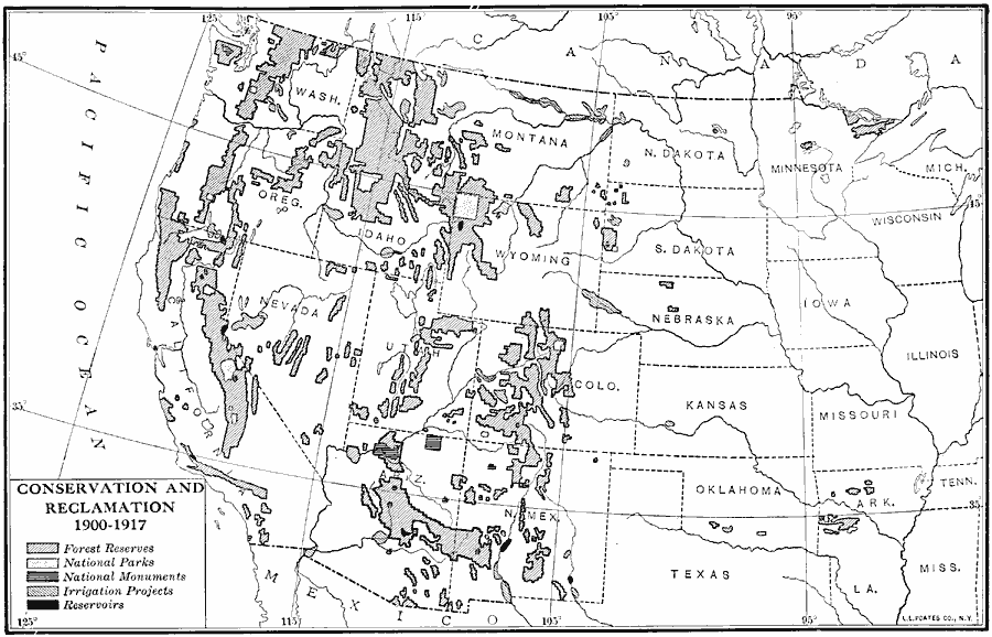
Description: Conservation and reclamation in the West, from 1900 to 1917.
Place Names: Western States,
ISO Topic Categories: biota,
boundaries,
inlandWaters,
location,
oceans
Keywords: Conservation and Reclamation, physical, �political, �statistical, �Theodore Roosevelt, physical features, country borders,
major political subdivisions, vegetation, biota,
boundaries,
inlandWaters,
location,
oceans, Unknown, 1900–1917
Source: Albert Bushnell Hart, LL.D., The American Nation Vol. 27 (New York, NY: Harper and Brothers, 1919) 100
Map Credit: Courtesy the private collection of Roy Winkelman |
|