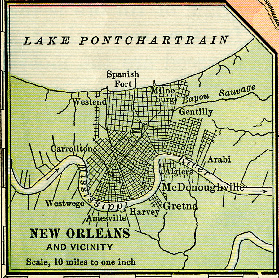
Description: A city plan from 1901 of New Orleans showing the major streets, neighboring municipalities, and the proximity of Lake Pontchartrain and Mississippi River.
Place Names: Louisiana, New Orleans, �Westwego, �Harvey, �Gretna, �McDonoghville, �Gentilly, �Spanish Fort, �Carrollto
ISO Topic Categories: inlandWaters,
location,
oceans,
transportation
Keywords: New Orleans, physical, �transportation, physical features, roads, inlandWaters,
location,
oceans,
transportation, Unknown, 1901
Source: Jacques W. Redway, Natural Advanced Geography (New York, NY: American Book Company, 1901) 78
Map Credit: Courtesy the private collection of Roy Winkelman |
|