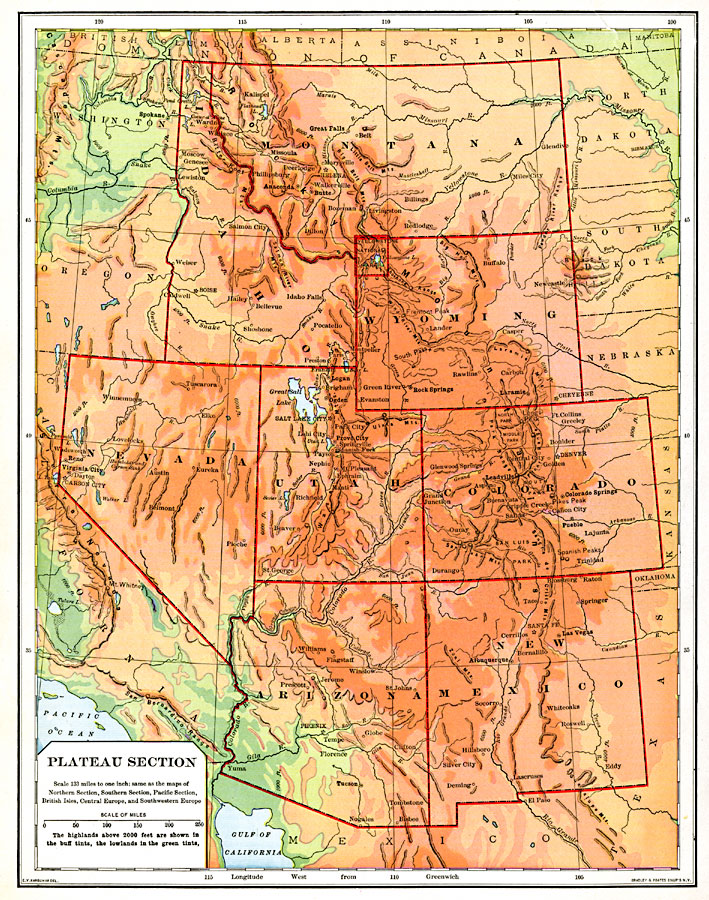
Description: The western plateau section of the United States.
Place Names: Rocky Mountain States, Montana, �Washington, �North Dakota, �South Dakota, �Wyoming, �Idaho, �Oregon, �California, �Nevada, �Utah, �Colorado, �Nebraska, �Kansas, �Arizona, �New Mexico, �Texas, �Washington State, �Rocky Mountains, �Rocky Mountain Region, �Great Plains, �Pacif
ISO Topic Categories: boundaries,
inlandWaters,
location,
oceans
Keywords: Plateau Section of the United States, physical, �political, physical features,
topographical, country borders,
major political subdivisions, boundaries,
inlandWaters,
location,
oceans, Unknown, 1901
Source: Jacques W. Redway, Natural Advanced Geography (New York, NY: American Book Company, 1901) 84
Map Credit: Courtesy the private collection of Roy Winkelman |
|