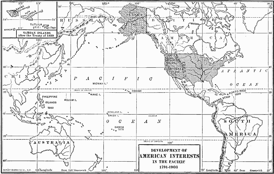
Description: A map showing the development of American interests in the Pacific between 1791 and 1903.
Place Names: Regional Pacific Ocean, Asia, �Australia, �North America, �South Americ
ISO Topic Categories: physical, �political, kWorldAmericas, kWorldPacific
Keywords: American Interests in the Pacific, physical, �political, physical features, country borders, physical, �political, kWorldAmericas, kWorldPacific, Unknown, 1791–1903
Source: Albert Bushnell Hart, L.L.D., The American Nation Vol. 23 (New York, NY: Harper and Brothers, 1907) 242
Map Credit: Courtesy the private collection of Roy Winkelman |
|