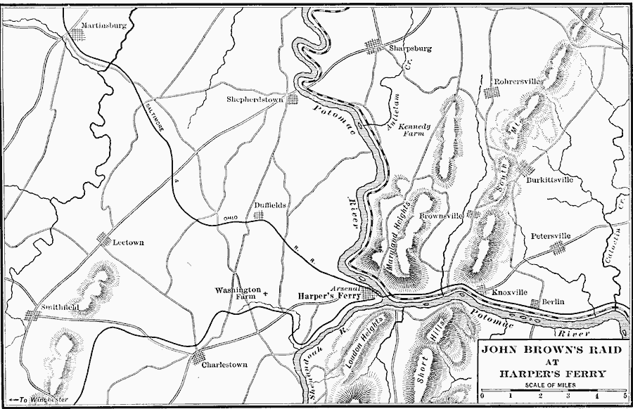
Description: A map of the vicinity of Harpers Ferry, West Virginia, site of the raid on the arsenal by abolitionist John Brown on October 16 1859. The map shows neighboring cities and towns, roads and railroads, mountains, and rivers of the area.
Place Names: West Virginia, Harper's Ferry, �Leetown, �Charlestow
ISO Topic Categories: location,
oceans,
inlandWaters
Keywords: Raid at Harper's Ferry, political, �transportation, �physical, physical features, local jurisdictions, roads, location,
oceans,
inlandWaters, Unknown, 1859
Source: Albert Bushnell Hart, LL.D., The American Nation Vol. 19 (New York, NY: Harper and Brothers, 1907) 80
Map Credit: Courtesy the private collection of Roy Winkelman |
|