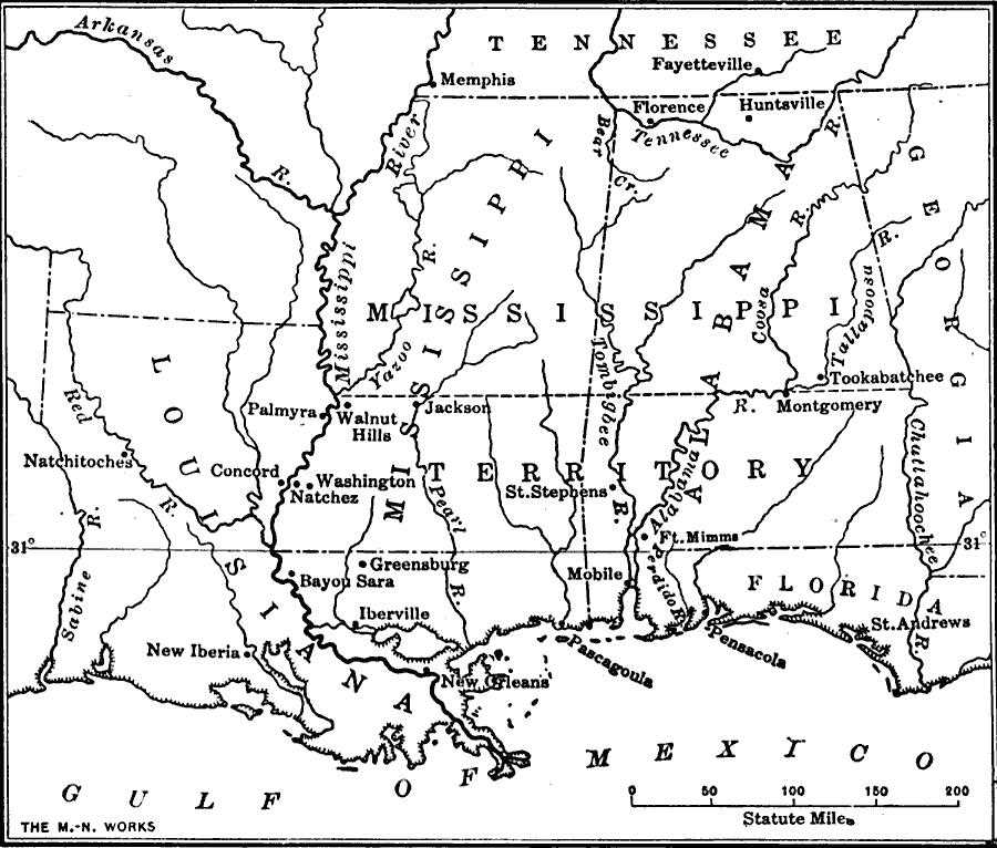
Description: The area around the Gulf of Mexico circa 1800.
Place Names: Growth of Nation, Florida, �Louisiana, �Mississippi Territory, ��Gulf of Mexic
ISO Topic Categories: oceans,
location,
inlandWaters,
boundaries,
structure
Keywords: Southern States along the Gulf of Mexico, borders, �historical, �physical, �physical features, historical event, oceans,
location,
inlandWaters,
boundaries,
structure, Unknown, 1800–1820
Source: S.E. Forman, Advanced American History (New York, NY: The Century Company, 1919) 287
Map Credit: Courtesy the private collection of Roy Winkelman |
|