mapsMaps ETC Site map
 Maps ETC > United States > Growth of Nation > Migration and Settlement Along the Upper Mississippi and around the Great Lakes, 1840–1850
Site Map 

Migration and Settlement Along the Upper Mississippi and around the Great Lakes, 1840–1850

Migration and Settlement Along the Upper Mississippi and around the Great Lakes


Title: Migration and Settlement Along the Upper Mississippi and around the Great Lakes
Projection: Unknown,
Source Bounding Coordinates:
W: E: N: S:

Main Map Page
Zoomify Version
B/W PDF Version
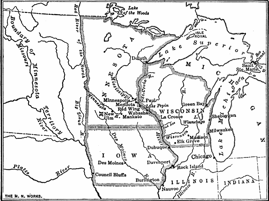
Description: Showing area along the Upper Mississippi and around the Great Lakes.
Place Names: Growth of Nation, Iowa, Michigan, Minnesota, Wisconsin, Mississippi River, Great Lake
ISO Topic Categories: oceans, location, inlandWaters, boundaries
Keywords: Migration and Settlement Along the Upper Mississippi and around the Great Lakes, borders, historical, physical, physical features, historical event, oceans, location, inlandWaters, boundaries, Unknown, 1840–1850
Source: S.E. Forman, Advanced American History (New York, NY: The Century Company, 1919) 361
Map Credit: Courtesy the private collection of Roy Winkelman
SearchLicensePDF HelpGIS Help Google Earth Help Zoomify Help

 Maps ETC > United States > Growth of Nation > Migration and Settlement Along the Upper Mississippi and around the Great Lakes, 1840–1850
Site Map