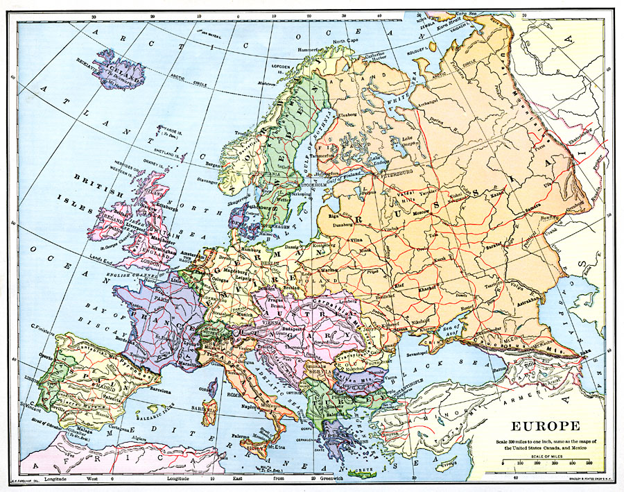
Description: A map showing country boundaries of Europe as they existed in 1901, including major cities, rivers, and railroad routes.
Place Names: A Complete Map of Europe, Russia, �Sweden, �Norway, �German Empire, �Belgium, �British Isles, �Iceland, �England, �Scotland, �Ireland, �Spain, �Portugal, �France, �Italy, �Switzerland, �Austria-Hungary, �Roumania, �Turkey, �Greece, �Bulgari
ISO Topic Categories: boundaries,
inlandWaters,
location,
oceans,
transportation
Keywords: Europe, physical, �political, �transportation, physical features, country borders, railroads, boundaries,
inlandWaters,
location,
oceans,
transportation, Unknown, 1901
Source: Jacques W. Redway, Natural Advanced Geography (New York, New York: American Book Company, 1901) 118
Map Credit: Courtesy the private collection of Roy Winkelman |
|