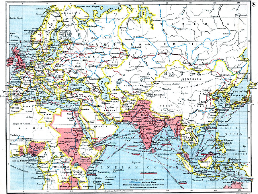
Description: A map showing trade routes between Europe and Asia.
Place Names: Regional Miscellaneous, Africa, �Asia, �Europ
ISO Topic Categories: physical, �political, �borders, �boundaries, �statistical, �industry, �economic, �transportation, �routes, �railroads, kWorldEurasia, kWorldEuroAfrica, kWorldIndian
Keywords: Trade Routes Between Europe and Asia, physical, �political, �borders, �boundaries, �statistical, �industry, �economic, �transportation, �routes, �railroads, �physical features, country borders, industry,
economic, water routes,
railroads, physical, �political, �borders, �boundaries, �statistical, �industry, �economic, �transportation, �routes, �railroads, kWorldEurasia, kWorldEuroAfrica, kWorldIndian, Unknown, 1915
Source: J.G. Bartholomew, A School Economic Atlas (London, England: Oxford University Press, 1915) 30
Map Credit: Courtesy the private collection of Roy Winkelman |
|