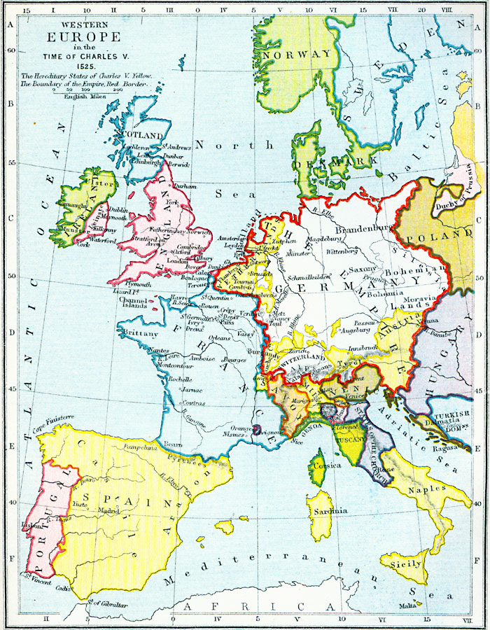
Description: A map of Western and Central Europe in the Time of Charles V (1525), showing the political boarders and principal cities at the time. The map is Color–coded to show the Hereditary States of Charles V in yellow, and the boundary of the Holy Roman Empire at the time in red.
Place Names: Western and Central Europe, Scotland, �Ireland, �England, �France, �Spain, �Portugal, �Germany, �Savoy, �Venice, �Tuscany, �Milan, �Genoa, �Corsica, �Sardinia, �Sicily, �States of the Church, �Modena, �Hungary, �Netherlands, �Denmark, �Norway, �Sweden, �Poland, �Turskish Dalmati
ISO Topic Categories: inlandWaters,
location,
oceans,
boundaries
Keywords: Western Europe in the Time of Charles V, physical, �political, �western europe in the time of charles v 1525, charles the fifth, hereditary states of charles v, boundary of the empire, physical features, country borders, inlandWaters,
location,
oceans,
boundaries, Unknown, AD 1525
Source: Samuel Rawson Gardiner D.C.L., L.L.D., School Atlas of English History (London, England: Longmans, Green, and Co., 1914) 22
Map Credit: Courtesy the private collection of Roy Winkelman |
|