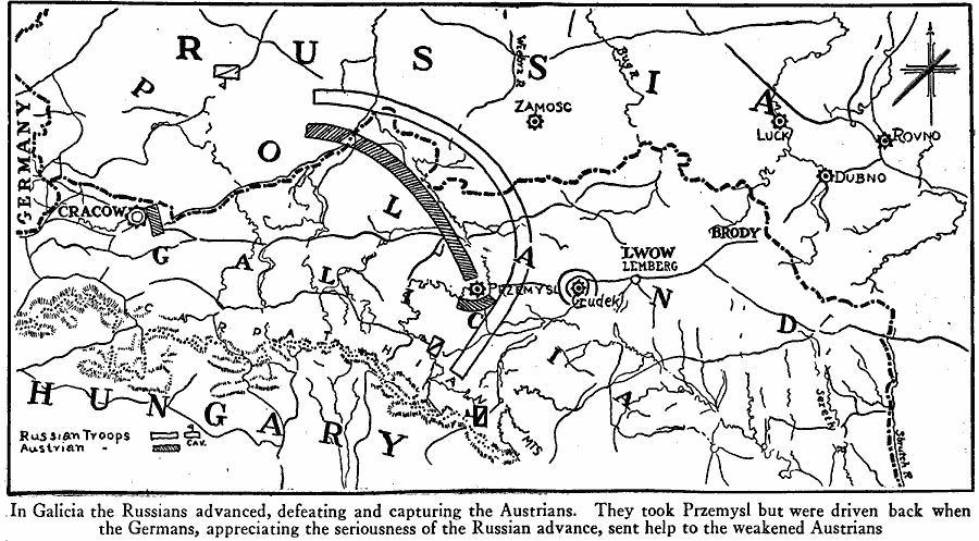
Description: A map of the Galicia region of Poland in 1914 showing the Russian advances into the territory in the opening year of World War I. The map shows the Austrian troop positions, and the advancing line of the Russian troops and cavalry. "In Galicia the Russians advanced, defeating and capturing the Austrians. They took Przemysl but were driven back when the Germans, appreciating the seriousness of the Russian advance, sent help to the weakened Austrians."
Place Names: Central Europe, Galicia, �Germany, �Hungary, �Poland, �Russi
ISO Topic Categories: location,
inlandWaters,
oceans,
boundaries
Keywords: Russian Advances in Poland, borders, �historical, �physical, �World War I, kWWI, country borders, WWI, location,
inlandWaters,
oceans,
boundaries, Unknown, World War I
Source: Willis J. Abbot, Pictorial History of the World War (New York, NY: Leslie-Judge Company, 1919) 75
Map Credit: Courtesy the private collection of Roy Winkelman |
|
