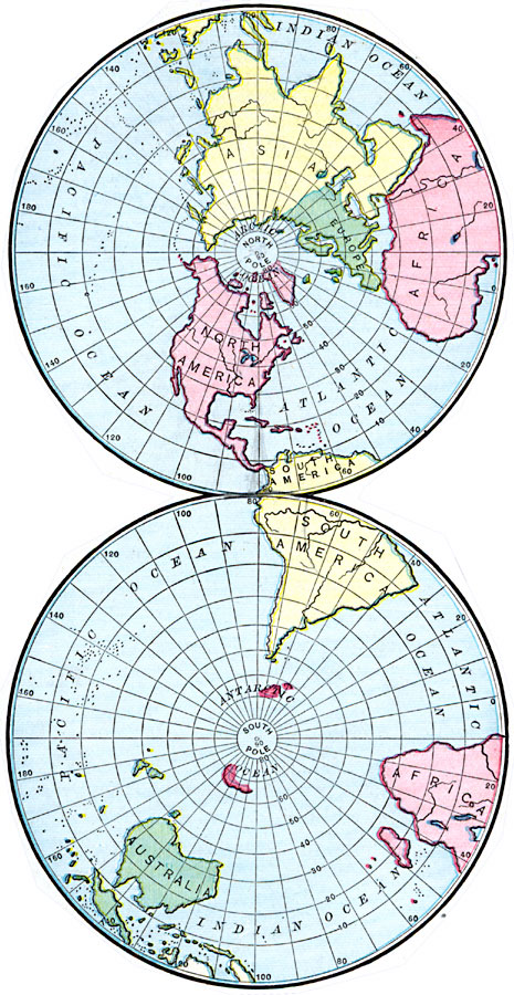
Description: A double–sphere map from 1901 showing the earth from the North and South poles. The map shows lines of latitude and longitude, and the outlines of the landmasses.
Place Names: A Complete Map of Globes and Multi-continent, Africa, �Antarctica, �Asia, �Australia, �Europe, �North America, �South Americ
ISO Topic Categories: oceans,
location,
inlandWaters
Keywords: Northern and Southern Hemispheres, borders, �physical, country borders, oceans,
location,
inlandWaters, Unknown, 1901
Source: James A. Bowen, Grammar School Geography (Chicago, IL: Rand, McNally & Company, 1901) 11
Map Credit: Courtesy the private collection of Roy Winkelman |
|