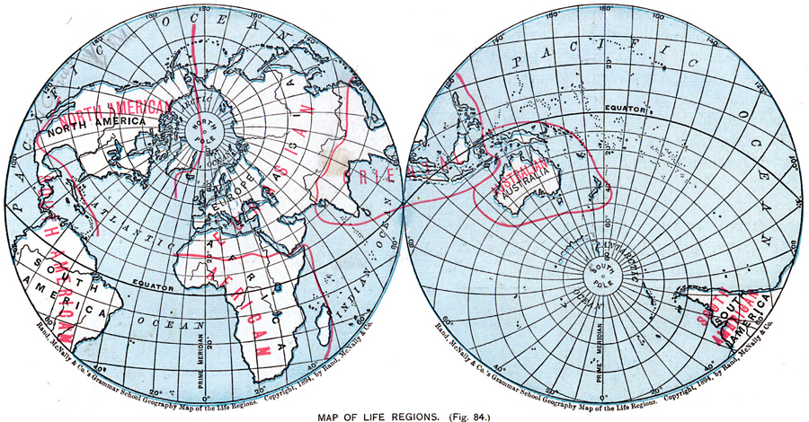
Description: Map showing life regions of the world.
Place Names: A Complete Map of Globes and Multi-continent, Africa, �Antarctica, �Asia, �Australia, �Europe, �North America, �South Americ
ISO Topic Categories: oceans,
location,
inlandWaters,
climatologyMeteorologyAtmosphere
Keywords: Map Showing Life Regions, country borders, �physical, country borders, oceans,
location,
inlandWaters,
climatologyMeteorologyAtmosphere, Unknown, 1901
Source: James A. Bowen, Grammar School Geography (Chicago, IL: Rand, McNally & Company, 1901) 47
Map Credit: Courtesy the private collection of Roy Winkelman |
|