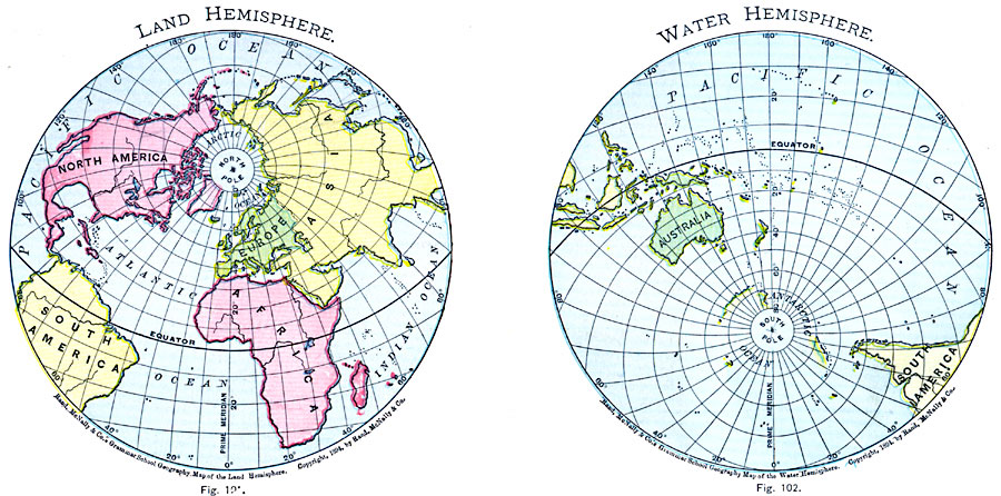
Description: A double hemisphere map of the world from 1901 showing the earth's Land Hemisphere and Water Hemisphere. The hemispheres are given on an oblique perspective, allowing the area around both poles to be shown, and illustrate the predominance of landmasses in the northern hemisphere (thus land hemisphere) and ocean surface in the southern hemisphere.
Place Names: A Complete Map of Globes and Multi-continent, Africa, �Antarctica, �Asia, �Australia, �Europe, �North America, �South Americ
ISO Topic Categories: oceans,
location,
inlandWaters
Keywords: The Hemispheres, country borders, �physical, � country borders, oceans,
location,
inlandWaters, Unknown, 1901
Source: James A. Bowen, Grammar School Geography (Chicago, IL: Rand, McNally & Company, 1901) 61
Map Credit: Courtesy the private collection of Roy Winkelman |
|