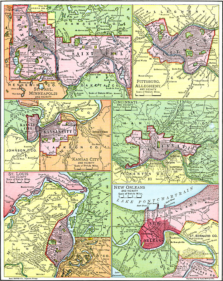
Description: River ports along the major rivers of the United States.
Place Names: Miscellaneous United States, Cincinnati, �Kansas City, �Minneapolis-St. Paul, �New Orleans, �Pittsburgh, �St. Louis, �Ohio River, �Mississippi Rive
ISO Topic Categories: oceans,
location,
inlandWaters
Keywords: Principal River Ports of the United States, borders, �physical, �transportation, �water routes, �physical features, country borders, water routes, rainfall, oceans,
location,
inlandWaters, Unknown, 1901
Source: James A. Bowen, Grammar School Geography (Chicago, IL: Rand, McNally & Company, 1901) 89
Map Credit: Courtesy the private collection of Roy Winkelman |
|