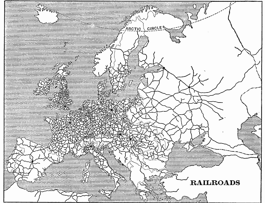
Description: A sketch map from 1901 of Europe showing the railway network of the region at the time. The relationship between the manufacturing districts of Europe and the railroads can be seen, as well as the mountain barriers and mountain passes.
Place Names: A Complete Map of Europe,
ISO Topic Categories: boundaries,
transportation,
oceans
Keywords: Map of Railroads in Europe, physical, �political, �transportation, physical features, country borders, railroads, boundaries,
transportation,
oceans, Unknown, 1901
Source: Jacques W. Redway, Natural Advanced Geography (New York, New York: American Book Company, 1901) 121
Map Credit: Courtesy the private collection of Roy Winkelman |
|