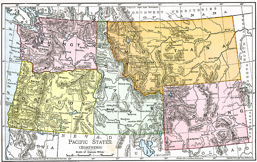
Description: The Pacific states in northern United States.
Place Names: Pacific Northwest States, Boise, �Cheyenne, �Helena, �Laramie, �Olympia, �Salem, ��Pacific Northwest, �Washington State, �Idaho, �Montan
ISO Topic Categories: oceans,
location,
inlandWaters
Keywords: Pacific States (Northern), borders, �physical, country borders, oceans,
location,
inlandWaters, Unknown, 1901
Source: James A. Bowen, Grammar School Geography (Chicago, IL: Rand, McNally & Company, 1901) 128
Map Credit: Courtesy the private collection of Roy Winkelman |
|