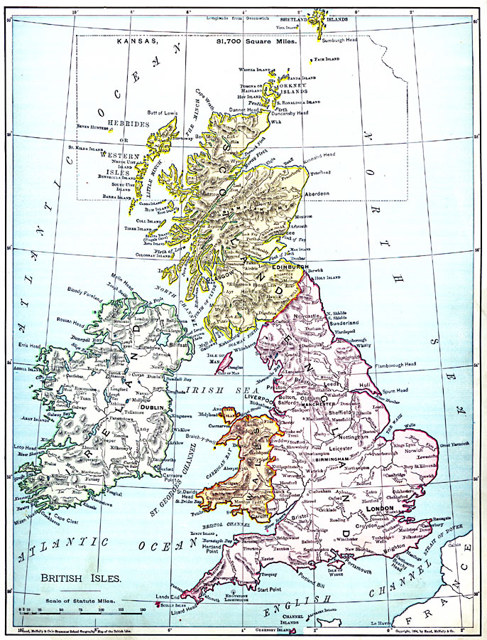
Description: A map from 1901 of the British Isles showing the boundaries of England, Wales, and Scotland, major cities and ports, rivers, terrain, and coastal features. An outline map of Kansas at the same map scale is overlain to show comparative area size.
Place Names: United Kingdom, England, �Ireland, �Scotland, �Wale
ISO Topic Categories: oceans,
location,
inlandWaters
Keywords: British Isles, borders, �physical, kComparativeArea, country borders, oceans,
location,
inlandWaters, Unknown, 1901
Source: James A. Bowen, Grammar School Geography (Chicago, IL: Rand, McNally & Company, 1901) 161
Map Credit: Courtesy the private collection of Roy Winkelman |
|