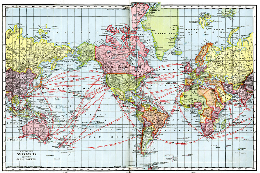
Description: A map from 1901 of the world on a Mercator's Projection, showing the steamship routes between major ports, with distances given in nautical miles. The map shows territorial borders at the time, major cities and ports, and the International Date Line adjusted from the 180° longitude to include island groups and territories.
Place Names: A Complete Map of Globes and Multi-continent, Africa, �Antarctica, �Asia, �Australia, �Europe, �North America, �South Americ
ISO Topic Categories: oceans,
location,
inlandWaters
Keywords: A Map of the World showing Ocean Routes, borders, �physical, �transportation, �water routes, kTransportation, country borders, water routes, oceans,
location,
inlandWaters, Unknown, 1901
Source: James A. Bowen, Grammar School Geography (Chicago, IL: Rand, McNally & Company, 1901) 198-199
Map Credit: Courtesy the private collection of Roy Winkelman |
|