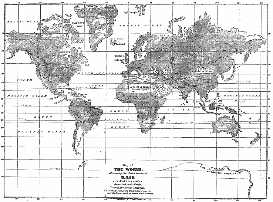
Description: A map from 1868 of the world, showing the relative annual deposit of rainfall, snow, and ice on the land surfaces. The map is shaded to show the proportional quantity of rain, snow and ice in the regions, with the figures indicating the annual depth in inches. The map also shows deserts and rainless regions.
Place Names: A Complete Map of Globes and Multi-continent, Africa, �Antarctica, �Asia, �Australia, �Europe, �North America, �South Americ
ISO Topic Categories: oceans,
inlandWaters,
location,
climatologyMeteorologyAtmosphere
Keywords: Map of the World illustrating the relative amount of Rain or Melted Snow and Ice deposited on the Lands, borders, �meteorological, �rainfall, kClimate, rainfall, oceans,
inlandWaters,
location,
climatologyMeteorologyAtmosphere, Unknown, 1868
Source: George W. Fitch, Outlines of Physical Geography (New York, NY: Ivison, Phinney, Blakeman & Company, 1868) 62
Map Credit: Courtesy the private collection of Roy Winkelman |
|