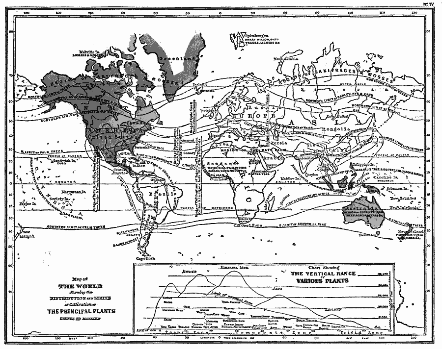
Description: A map from 1868 of the world, showing the distribution and limits of cultivation of the principal plants useful to mankind. This map shows the northern and southern limits of trees and palms, the limits of grains such as wheat, rice, barley, rye, oats, and maize, the limits of sugarcane and vineyards, and shows the locations of coffee, spices, and cotton cultivation. Vertical lines show the latitudinal ranges for various cultivation, including citrus, bananas, fruits, and others. A chart at the bottom of this map shows the vertical range of various plants in the torrid, temperate, and frigid zones.
Place Names: A Complete Map of Globes and Multi-continent, Africa, �Antarctica, �Asia, �Australia, �Europe, �North America, �South Americ
ISO Topic Categories: oceans,
inlandWaters,
location
Keywords: Map of the World showing the Distribution and Limits of Cultivation of Primitive Plants useful to Mankind, borders, �statistical, �vegetation, kAgriculture, vegetation, oceans,
inlandWaters,
location, Unknown, 1868
Source: George W. Fitch, Outlines of Physical Geography (New York, NY: Ivison, Phinney, Blakeman & Company, 1868) 72
Map Credit: Courtesy the private collection of Roy Winkelman |
|
