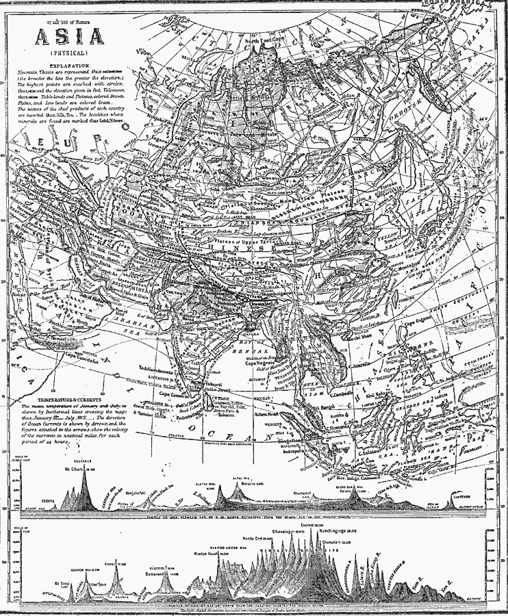
Description: A map from 1868 of Asia showing physical features and natural resources of the region. The map shows political boundaries of the time, with capitals, major cities, and ports. The map shows mountain systems with black lines of variable widths, the broader the line, the greater the elevation. The highest peaks along a mountain chain are marked with a circle, the elevations given in feet. Volcanoes are indicated with a dot within a circle. The map shows tablelands, plateaus, basins, plains, steppes, lowlands, rivers, coastal features, and islands of the region. Isothermal lines of mean temperatures are given in degrees Fahrenheit, with January isotherms as solid lines and July isotherms as dashed lines. Principal ocean currents are shown, with direction of flow indicated by arrows. The names of chief products and mineral resources of each country are inserted. Two charts are given at the bottom of the map, the upper is a cross–section profile of Asia between latitudes 38 and 45 North, extending from the Black sea to the Pacific, and the lower along latitude 28° North, from the Gulf of Suez to the Pacific.
Place Names: A Complete Map of Asia, China, �India, �Indonesia, �Japan, �Kazakhstan, �Mongolia, �Pakistan, �Phillipines, �Russia, �Thailan
ISO Topic Categories: oceans,
location,
inlandWaters,
elevation,
climatologyMeteorologyAtmosphere
Keywords: Asia (Physical), borders, �currents, �physical, �temperature, �topographical, �hydrological, �meteorological, topographical, country borders, climate,
temperature, currents, oceans,
location,
inlandWaters,
elevation,
climatologyMeteorologyAtmosphere, Unknown, 1868
Source: George W. Fitch , Outlines of Physical Geography (New York, NY: Ivison, Phinney, Blakeman & Company, 1868) 92-93
Map Credit: Courtesy the private collection of Roy Winkelman |
|
