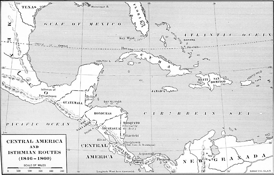
Description: Central America and isthmian Routes 1846—1860.
Place Names: A Regional Map of North America, Belize, �Costa Rica, �Cuba, �Guatemala, �Haiti, �Honduras, �Jamaica, �Mexico, �Mosquito, �Nicaragua, �Panama, �San Domingo, �San Salvado
ISO Topic Categories: oceans,
location,
inlandWaters,
boundaries
Keywords: Central America and Isthmian Routes, borders, �transportation, �water routes, water routes, oceans,
location,
inlandWaters,
boundaries, Unknown, 1846–1860
Source: Dixon Ryan Fox, Harper's Atlas of American History (New York, NY: Harper & Brothers Publishers , 1920) 50
Map Credit: Courtesy the private collection of Roy Winkelman |
|