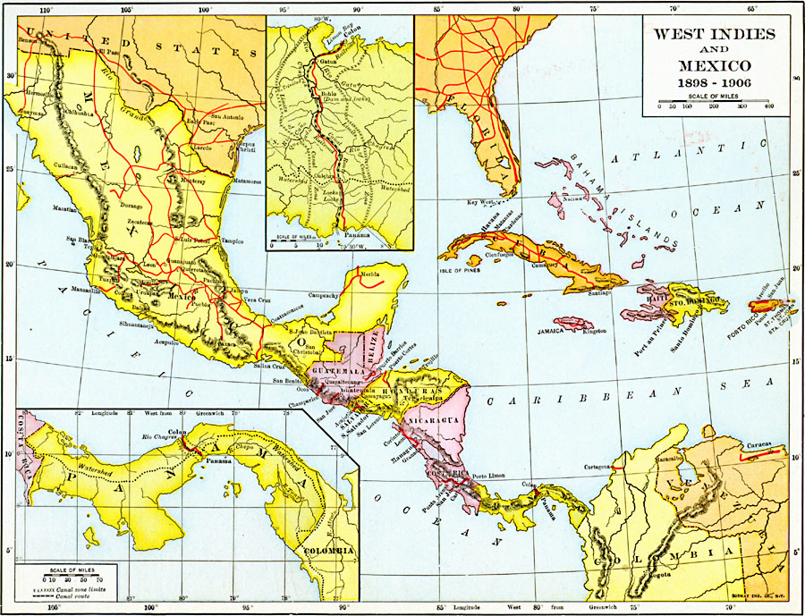
Description: A map of the West Indies and Mexico between 1898 and 1906, showing political boundaries at the time, capitals, major cities and ports, railroads and canals, rivers, terrain, islands, and coastal features of the region. Inset maps detail the Panama Isthmus and Panama Canal route, showing the railroad, canal, canal zone boundaries, and the watershed divide line.
Place Names: A Regional Map of North America, Belize, �Colombia, �Costa Rica, �Guatemala, �Haiti, �Honduras, �Mosquito, �Nicaragua, �Panama, �Puerto Rico, �Santo Domingo, �Zelay
ISO Topic Categories: oceans,
location,
inlandWaters,
boundaries,
transportation
Keywords: West Indies and Mexico, borders, �historical, �transportation, �water routes, kCaribbean, kCentralAmerica, water routes, historical event, oceans,
location,
inlandWaters,
boundaries,
transportation, Unknown, 1898–1906
Source: Dixon Ryan Fox, Harper's Atlas of American History (New York, NY: Harper & Brothers Publishers , 1920) 73
Map Credit: Courtesy the private collection of Roy Winkelman |
|