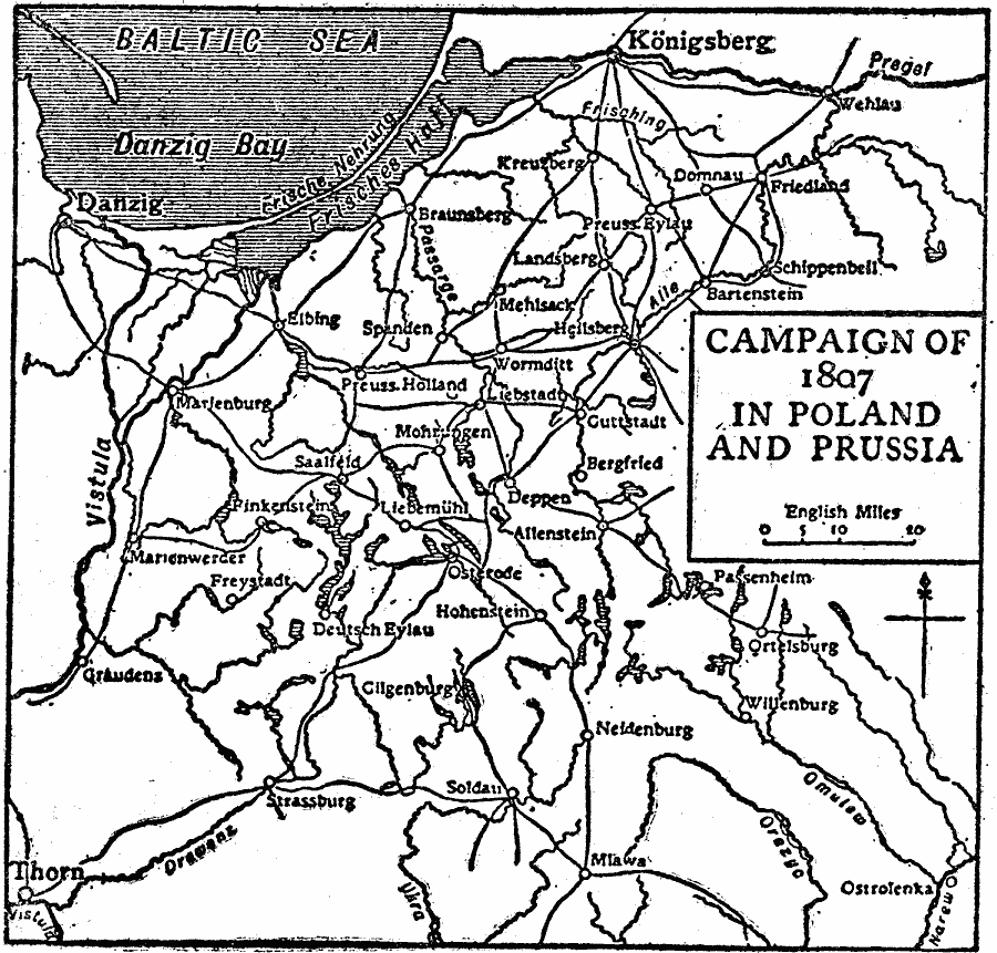
Description: A map of Poland and Prussia in 1807 at the time of the War of the Fourth Coalition between the French Empire under Napoleon Bonaparte and the coalition forces of Prussia, Russia, Saxony, Sweden, and the United Kingdom. The map shows routes and important cities during the Polish and Prussian campaigns of the war.
Place Names: Western and Central Europe, Poland, �German
ISO Topic Categories: inlandWaters,
intelligenceMilitary,
location,
oceans,
transportation
Keywords: Campaign in Poland and Prussia, physical, �transportation, physical features, roads, inlandWaters,
intelligenceMilitary,
location,
oceans,
transportation, Unknown, 1807
Source: The Encyclopedia Britannica, The Encyclopedia Britannica Vol 19 (New York, NY: The Encyclopedia Britannica Company, 1911) 223
Map Credit: Courtesy the private collection of Roy Winkelman |
|