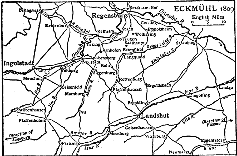
Description: A map of the area around Eckmühl, Bavaria, showing the battle site where French forces under Napoleon defeated Austrian forces under Archduke Charles (21–22 April, 1809) during the War of the Fifth Coalition. Eckmühl, also known as Eggmühl, is south of Regensburg and east of Ingolstadt. The map shows neighboring cities, roads, rivers, and terrain features in the area.
Place Names: Germany, Eckmuhl, �Regensburg, �Landshu
ISO Topic Categories: oceans,
location,
inlandWaters
Keywords: Eckmühl, physical, �transportation, kBattle, kNapoleonicWars, physical features, roads, oceans,
location,
inlandWaters, Unknown, 1809
Source: The Encyclopedia Britannica, The Encyclopedia Britannica Vol 19 (New York, NY: The Encyclopedia Britannica Company, 1911) 225
Map Credit: Courtesy the private collection of Roy Winkelman |
|