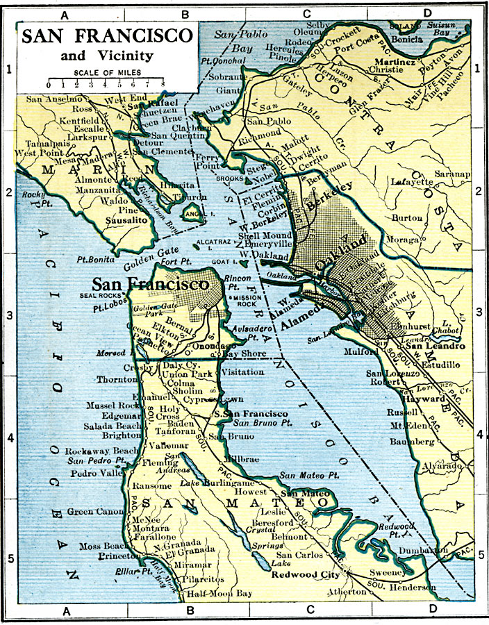
Description: A map from 1919 of the San Francisco and vicinity showing the Golden Gate, San Francisco Bay, Oakland, Sausalito, San Quentin, Berkeley, and Alameda, railroads, islands, and rivers.
Place Names: California, Berkeley, �Oakland, �Redwood City, �San Francisco, �San Mate
ISO Topic Categories: oceans,
location,
inlandWaters
Keywords: San Francisco and Vicinity, borders, �physical, �country borders, oceans,
location,
inlandWaters, Unknown, 1919
Source: L.L. Poates, Poates Complete Atlas of the World (New York, NY: Poates Corporation , 1921) 37
Map Credit: Courtesy the private collection of Roy Winkelman |
|