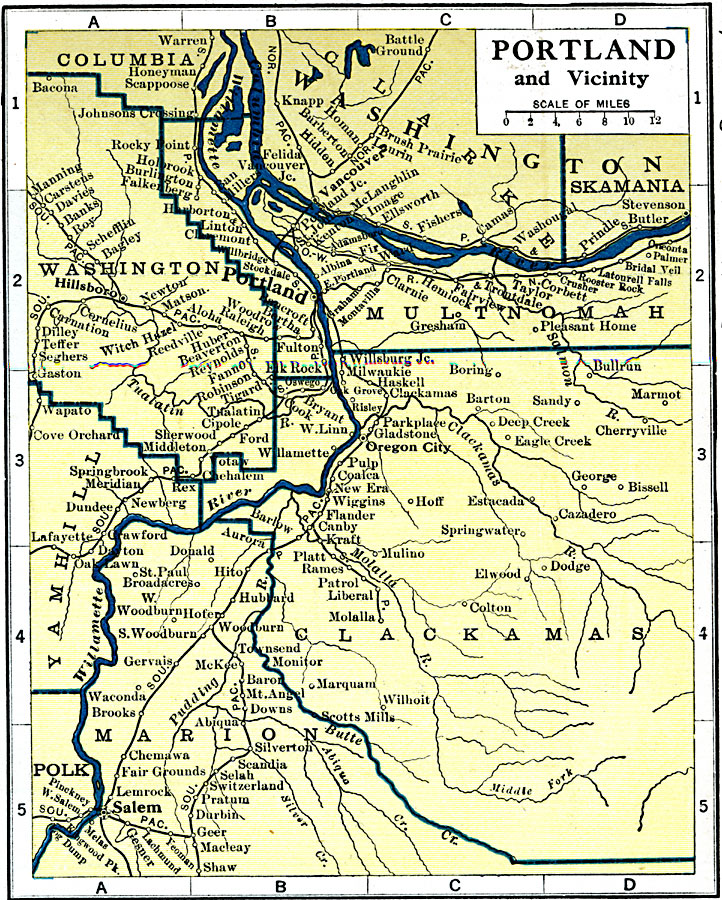
Description: A map from 1919 of Portland, Oregon and surrounding vicinity, showing the Willamette and Columbia rivers, county lines, railroads, and neighboring cities and towns.
Place Names: Oregon, Portland, �Sale
ISO Topic Categories: oceans,
location,
inlandWaters
Keywords: Portland and Vicinity, borders, �physical, �country borders, oceans,
location,
inlandWaters, Unknown, 1919
Source: L.L. Poates, Poates Complete Atlas of the World (New York, NY: Poates Corporation , 1921) 37
Map Credit: Courtesy the private collection of Roy Winkelman |
|