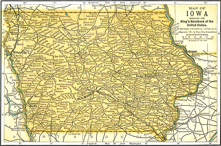
Description: A map from 1891 of Iowa showing the State capital of Des Moines, major cities and towns, railroads, and rivers, including the border rivers of the Mississippi and Missouri.
Place Names: Iowa, Des Moines, �Cedar Falls, �Sioux City, �Dubuque, �Clinton, �Creston, �Hamburg, �Iowa City, �Mason, �Waterloo, �Council Bluff
ISO Topic Categories: location,
inlandWaters,
transportation,
boundaries
Keywords: Iowa, physical, �transportation, �political, physical features, major political subdivisions, railroads, location,
inlandWaters,
transportation,
boundaries, Unknown, 1891
Source: Moses King, King's Handbook of the United States (Buffalo, NY: Moses King Corporation, 1891) 474
Map Credit: Courtesy the private collection of Roy Winkelman |
|