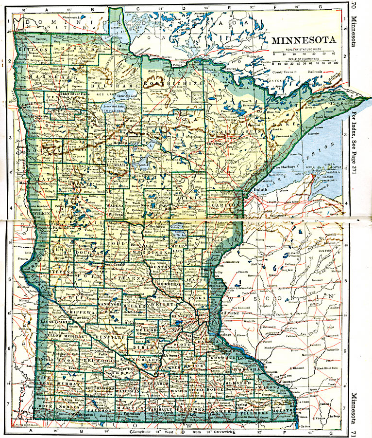
Description: A map from 1919 of Minnesota showing the capital of St. Paul, counties and county seats, major cities and towns, Indian reservations, railroads, lakes, and rivers, including the headwaters of the Mississippi River.
Place Names: Minnesota, Anoka, �Faribault, �Mankato, �Minneapolis, �Red Wing, �Rochester, �St. Cloud, �St. Paul, �Winona, �Worthingto
ISO Topic Categories: oceans,
location,
inlandWaters,
transportation
Keywords: Minnesota, borders, �physical, �railroads, �transportation, kNativeAmerican, country borders,
county borders, railroads, oceans,
location,
inlandWaters,
transportation, Unknown, 1919
Source: L.L. Poates, Poates Complete Atlas of the World (New York, NY: Poates Corporation , 1921) 70-71
Map Credit: Courtesy the private collection of Roy Winkelman |
|