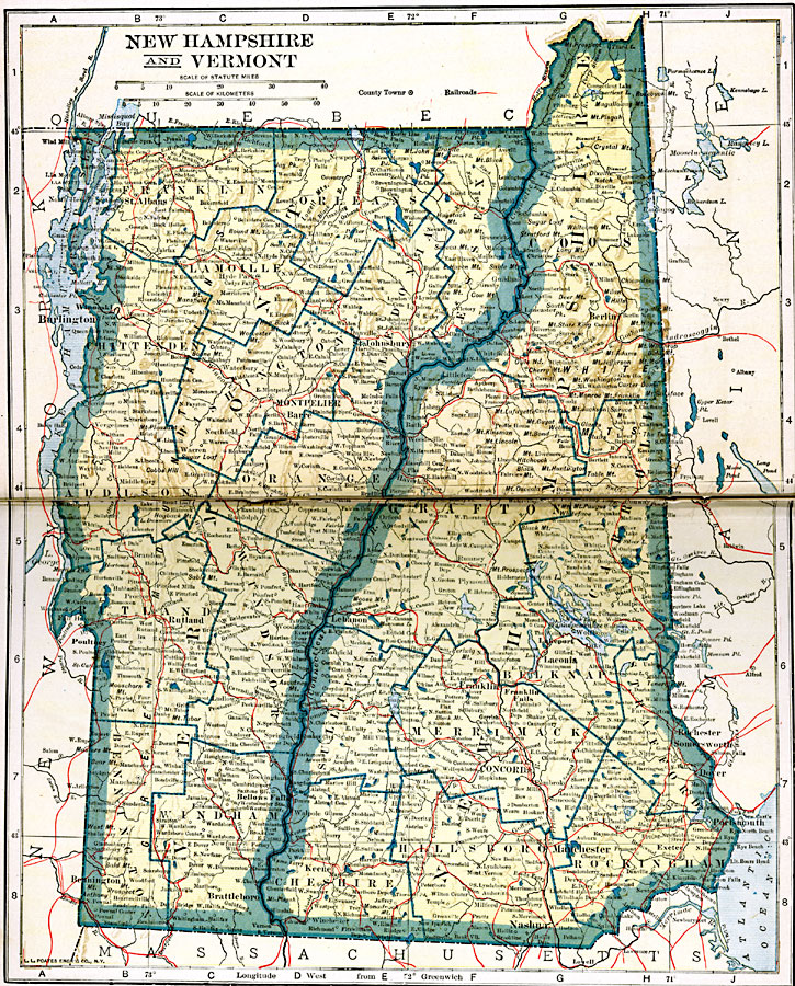
Description: New Hampshire and Vermont.
Place Names: New England States, Concord, �Manchester, �Montpelier, �New Englan
ISO Topic Categories: oceans,
location,
inlandWaters,
transportation
Keywords: New Hampshire and Vermont, borders, �physical, �railroads, �transportation, �country borders,
county borders, railroads, oceans,
location,
inlandWaters,
transportation, Unknown, 1919
Source: L.L. Poates, Poates Complete Atlas of the World (New York, NY: Poates Corporation , 1921) 82-83
Map Credit: Courtesy the private collection of Roy Winkelman |
|