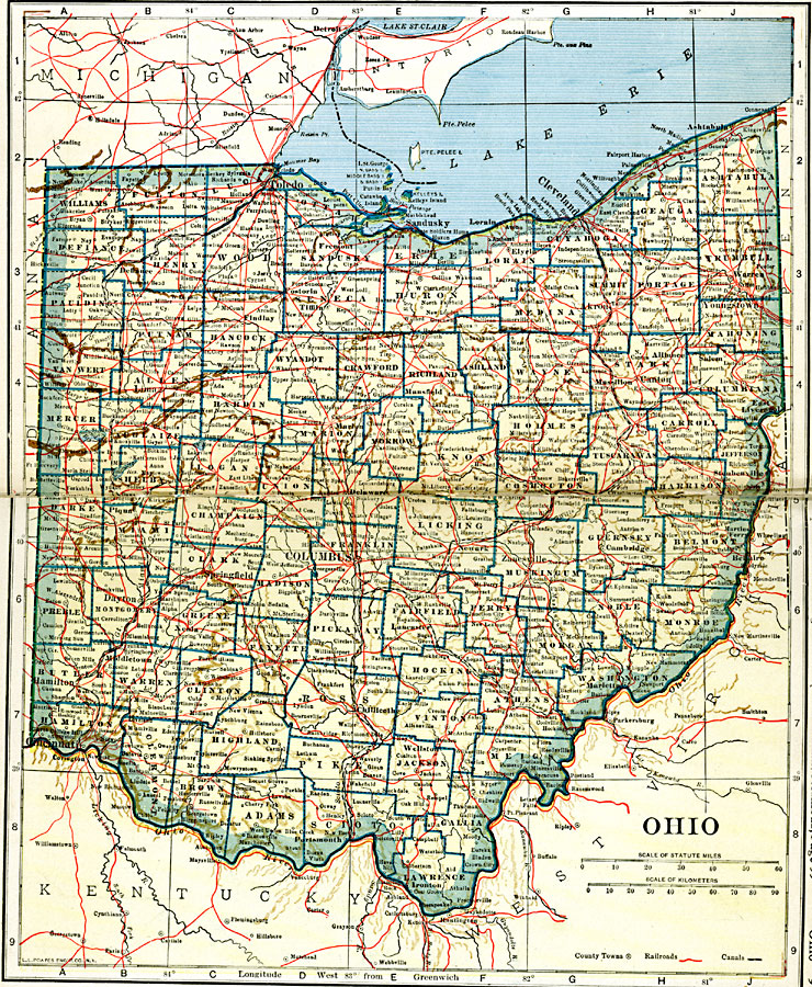
Description: A map from 1919 of Ohio showing the capital of Columbus, counties and county seats, principal cities and towns, railroads, canals, lakes, and rivers.
Place Names: Ohio, Akron, �Cincinatti, �Cleveland, �Columbus, �Dayton, �Hamilton, �Sandusky, �Springfield, �Toledo, �Zanesvill
ISO Topic Categories: oceans,
location,
inlandWaters,
transportation
Keywords: Ohio, borders, �physical, �railroads, �transportation, �country borders,
county borders, railroads, oceans,
location,
inlandWaters,
transportation, Unknown, 1919
Source: L.L. Poates, Poates Complete Atlas of the World (New York, NY: Poates Corporation , 1921) 96-97
Map Credit: Courtesy the private collection of Roy Winkelman |
|