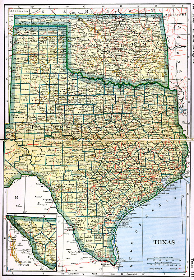
Description: A map from 1919 of Texas and Oklahoma, showing principal cities and towns, railroads, rivers, and coastal features.
Place Names: Old South States, Amarillo, �Austin, �Brownsville, �Corpus Christi, �Dallas, �El Paso, �Galveston, �Houston, �San Antonio, �Wac
ISO Topic Categories: oceans,
location,
inlandWaters,
transportation
Keywords: Texas and Oklahoma, borders, �physical, �railroads, �transportation, country borders,
county borders, railroads, oceans,
location,
inlandWaters,
transportation, Unknown, 1919
Source: L.L. Poates, Poates Complete Atlas of the World (New York, NY: Poates Corporation , 1921) 114-115
Map Credit: Courtesy the private collection of Roy Winkelman |
|