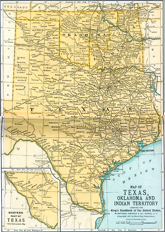
Description: Texas and Oklahoma in 1891, showing parts of Oklahoma as being designated for Native Americans.
Place Names: Old South States, Houston, �Okahoma, �Texas, �Old Southwes
ISO Topic Categories: location,
oceans,
transportation,
inlandWaters,
boundaries
Keywords: Texas, Oklahoma, and the Indian Territory, physical, �political, �transportation, �statistical, kNativeAmerican, physical features, major political subdivisions,
country borders, ethnological, railroads, location,
oceans,
transportation,
inlandWaters,
boundaries, Unknown, 1891
Source: Moses King, King's Handbook of the United States (Buffalo, NY: Moses King Corporation, 1891) 502
Map Credit: Courtesy the private collection of Roy Winkelman |
|