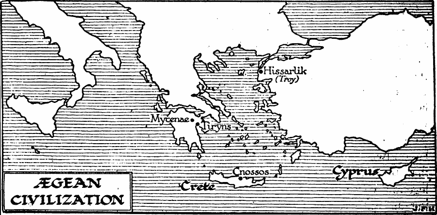
Description: A map of Greece, the &Aelig;gean Sea, and the islands of Crete and Cyprus, showing the locations of the Aegean civilizations during the Bronze Age of Greece (Helladic, Mycenaean, Cycladic, and Minoan). The map shows the sites of Cnossos, Mycenae, Tiryns, and Hissarlik (Troy).
Place Names: Southeastern Europe, Troy, �Mycenae, �Crete, �Cypru
ISO Topic Categories: location,
oceans,
inlandWaters
Keywords: Aegean Civilization, physical, kAncientGreece, physical features, location,
oceans,
inlandWaters, Unknown, 3000 BC to 1100 BC
Source: H. G. Wells, The Outline of History (New York, NY: The Macmillan Company, 1921) 160
Map Credit: Courtesy the private collection of Roy Winkelman |
|