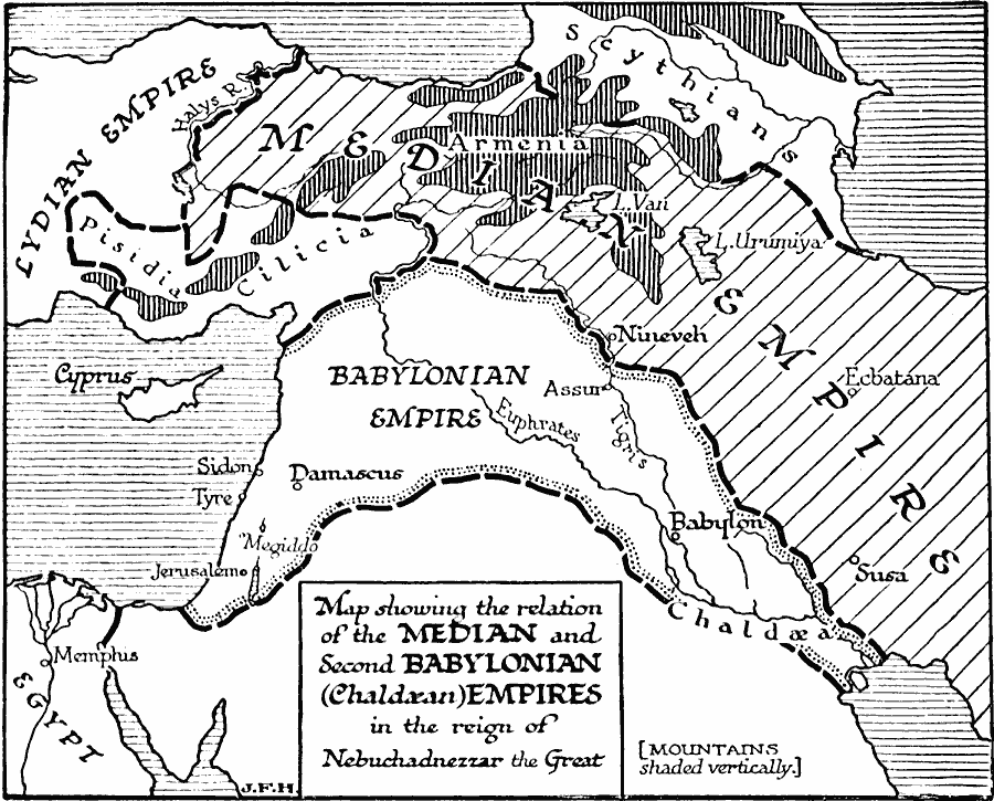
Description: A map of western Asia showing the relation of the Median and second Babylonian (Chaldæan) empires during the reign of Nebuchadnezzer the Great (605–562 BC). The map shows the boundaries of the Median Empire, the Babylonian Empire, the territories of Pisidia and Cilicia, and the frontiers of the Lydian Empire and the Scythians. The map shows the mountainous terrain of Central Anatolia, major lakes and rivers, and important cities of the time.
Place Names: Southwest Asia, Babylonian Empire, �Median Empir
ISO Topic Categories: location,
oceans
Keywords: Empires of the Middle East, physical, �political, physical features, major political subdivisions, location,
oceans, Unknown, 605–562 BC
Source: H. G. Wells, The Outline of History (New York, NY: The Macmillan Company, 1921) 270
Map Credit: Courtesy the private collection of Roy Winkelman |
|