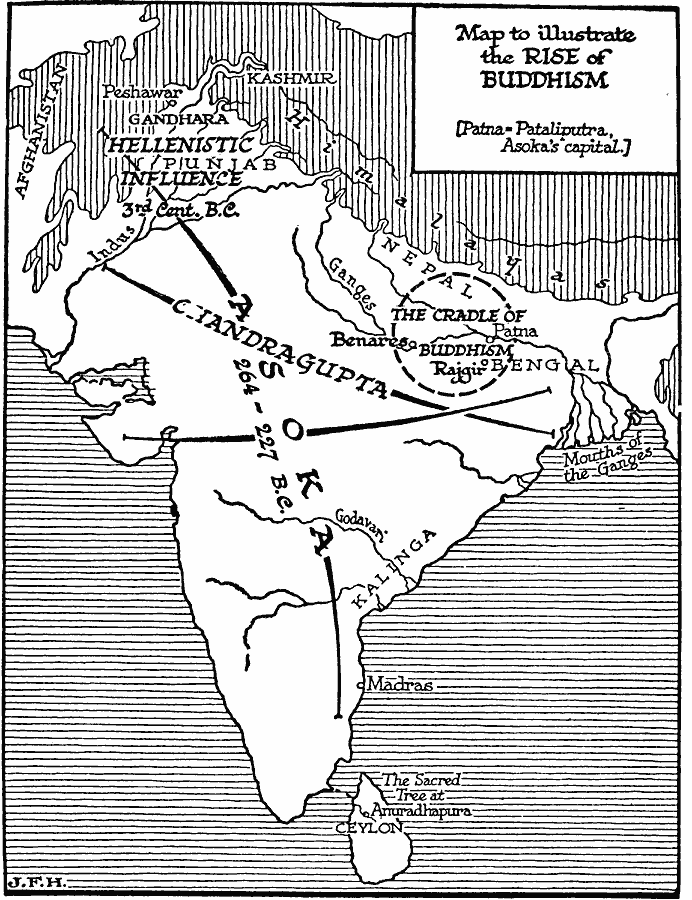
Description: A map of the Indian subcontinent illustrating the rise of Buddhism and the extent of the empires of Chandragupta between 321 and 264 BC, and Asoka between 264 and 227 BC. The map shows the cradle of Buddhism in northern Bengal where Siddhattha Gautama (Siddhartha) was born, received enlightenment, and spread his teachings somewhere between 500 and 600 BC, and the Sacred Tree at Anuradhapura, Sri Lanka, planted in 245 BC as a cutting from the Bo Tree under which Gautama received enlightenment. Also shown is the territory of Gandhara and the region of Hellenistic influence. "The kingdom of Gandhara on the north–west frontier near Peshawar, which flourished in the third century B.C., was a typical meeting–place of the Hellenic and Indian worlds. Here are to be found the earliest Buddhist scriptures," — Wells, 1921, p.367.
Place Names: India , Madras, �Sri Lanka, �Ceylon, �Bengal, �Nepa
ISO Topic Categories: location,
oceans,
inlandWaters,
society
Keywords: The Rise of Buddhism, physical, physical features, location,
oceans,
inlandWaters,
society, Unknown, 500–227 BC
Source: H. G. Wells, The Outline of History (New York, NY: The Macmillan Company, 1921) 358
Map Credit: Courtesy the private collection of Roy Winkelman |
|
