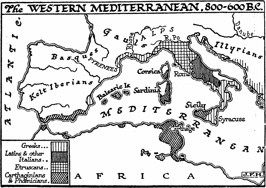
Description: A map of the Western Mediterranean from 800–600 BC showing the territories of the Greeks, Latins and other Italians, Etruscans, Carthaginians, and Phoenicians. This map also shows the general territories of the Kelt Iberians, Basques, Gauls, and Illyrians, with natural borders between groups such as the Pyrenees Mountains, Alps, and the River Po. The important cities of Rome (Latins), Syracuse (Greeks), and Carthage (Carthaginians and Phoenicians) are shown.
Place Names: Regional Mediterranean, Africa, �Europ
ISO Topic Categories: physical, �statistical, kWorldMedSea, kWorldEuroAfrica
Keywords: The Western Mediterranean, physical, �statistical, physical features, ethnological, physical, �statistical, kWorldMedSea, kWorldEuroAfrica, Unknown, 800–600 BC
Source: H. G. Wells, The Outline of History (New York, NY: The Macmillan Company, 1921) 381
Map Credit: Courtesy the private collection of Roy Winkelman |
|