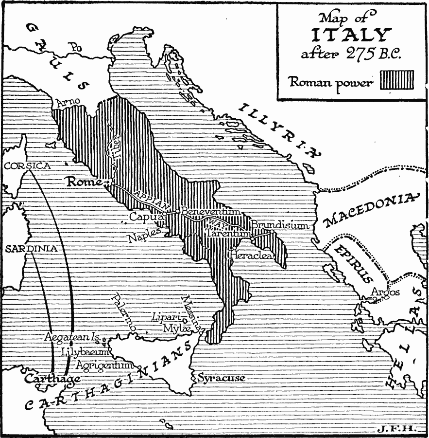
Description: A map of Italy after 275 B.C. showing the extent of Roman control of the peninsula, and the Carthaginian control of Sicily, Sardinia, and Corsica before the Punic Wars. This map shows the Appian Way between Rome and Brundisium, important cities of the time, and the territories of the Gauls, Illyria, Macedonia, Epirus, and Hellas.
Place Names: Italy, Roman Empire,�Carthage, �Illyria, �Macedoni
ISO Topic Categories: boundaries,
transportation,
oceans,
location,
inlandWaters
Keywords: Map of Italy, physical, �political, �transportation, kRomanEmpire, physical features, major political subdivisions, roads, boundaries,
transportation,
oceans,
location,
inlandWaters, Unknown, 275 B.C.
Source: H. G. Wells, The Outline of History (New York, NY: The Macmillan Company, 1921) 387
Map Credit: Courtesy the private collection of Roy Winkelman |
|