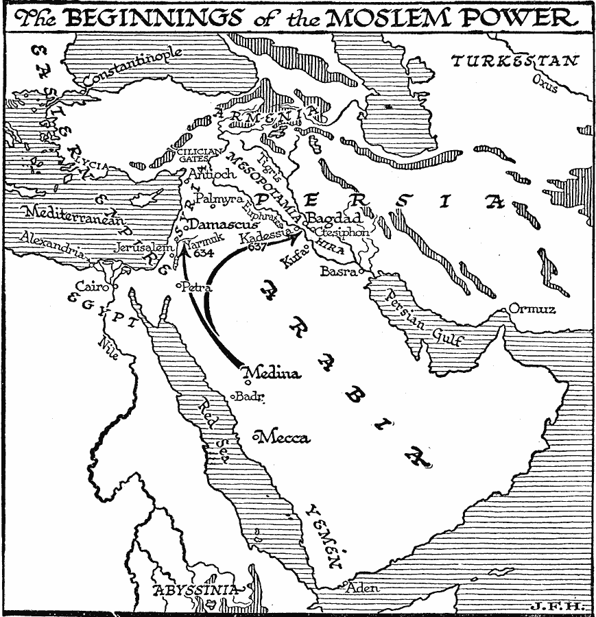
Description: A map of the Arabian Peninsula illustrating the beginnings of Islamic power. This map shows the northward movement from Medina and the battle sites of Yarmuk in AD 634 under the command of Khalid against the Byzantine Empire, and Kadessia in AD 637 under the command of Rustam against the Persians. This map shows the territories of Arabia, Yemen, the Eastern Empire (Byzantine), Armenia, Persia, Turkestan, Syria, Mesopotamia, Egypt and Abyssinia. The map also shows the rivers Tigris, Euphrates, and Nile, the eastern Mediterranean, Red Sea, and Persian Gulf, the strategic mountain pass between the Mediterranean coast and the central plateau of Anatolia (Cilician Gates), and the cities of Mecca, Constantinople, Antioch, Palmyra, Damascus, Bagdad, Ctesiphon, Alexandria, Cairo, Petra, Jerusalem, Basra, Ormuz, Badr, and Aden.
Place Names: Regional AfroAsia, Africa, �Asi
ISO Topic Categories: physical, �political, kWorldMedSea, kWorldAfroAsia
Keywords: The Beginnings of Islamic Power, physical, �political, physical features, major political subdivisions, physical, �political, kWorldMedSea, kWorldAfroAsia, Unknown, AD 600–700
Source: H. G. Wells, The Outline of History (New York, NY: The Macmillan Company, 1921) 583
Map Credit: Courtesy the private collection of Roy Winkelman |
|
