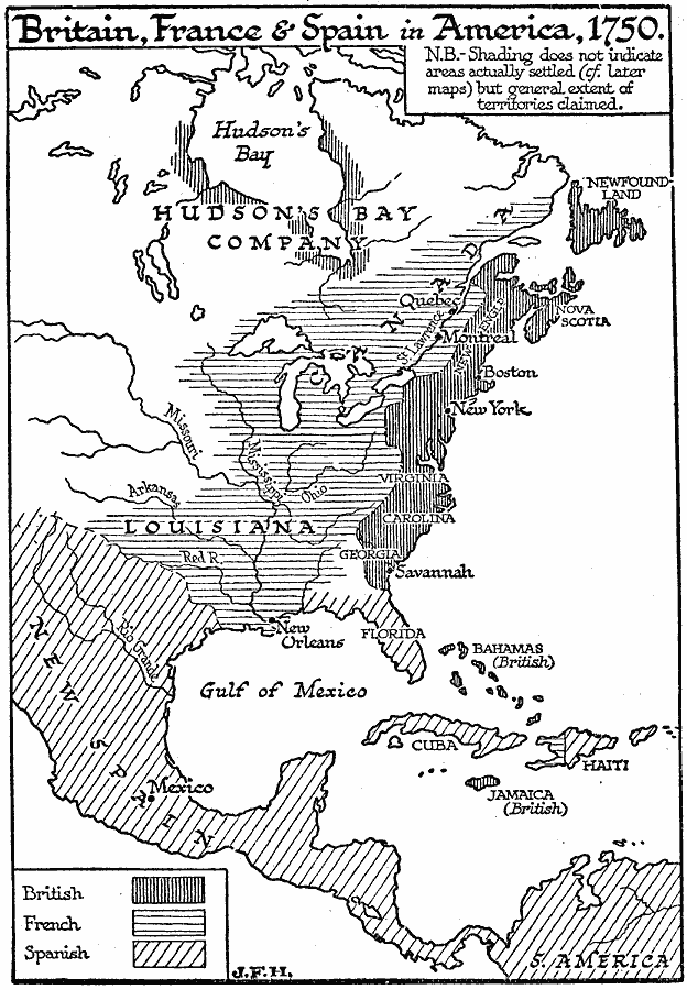
Description: A map of the eastern portion of North America, Central America, and western Caribbean showing the territorial claims in 1750 of the British, French, and Spanish in the region. The map shows major cities at the time, lakes, and rivers. As noted on the map, the shaded sections do not indicate actual settled areas, but the extent of territorial claims.
Place Names: A Regional Map of North America, Bahamas, �Canada, �Cuba, �Mexico, �United States, �Jamaica, �Hait
ISO Topic Categories: boundaries,
location,
oceans,
inlandWaters
Keywords: North America, physical, �political, physical features, major political subdivisions, boundaries,
location,
oceans,
inlandWaters, Unknown, 1750
Source: H. G. Wells, The Outline of History (New York, NY: The Macmillan Company, 1921)
Map Credit: Courtesy the private collection of Roy Winkelman |
|
