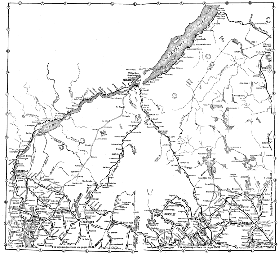
Description: Parts of Northern New York, and Quebec.
Place Names: A Regional Map of North America, Quebec, �Montreal, �Newport, �Bangor, �United States, �Canad
ISO Topic Categories: boundaries,
transportation,
oceans,
location,
inlandWaters
Keywords: Canada and Northern New England, physical, �political, �transportation, physical features, country borders,
major political subdivisions, roads, boundaries,
transportation,
oceans,
location,
inlandWaters, Unknown, 1919
Source: The Automobile Blue Book Company, Official Automobile Blue Book 1919 Vol 2 (New York, NY: The Automobile Blue Book Publishing Co., 1919) 34-35
Map Credit: Courtesy the private collection of Roy Winkelman |
|