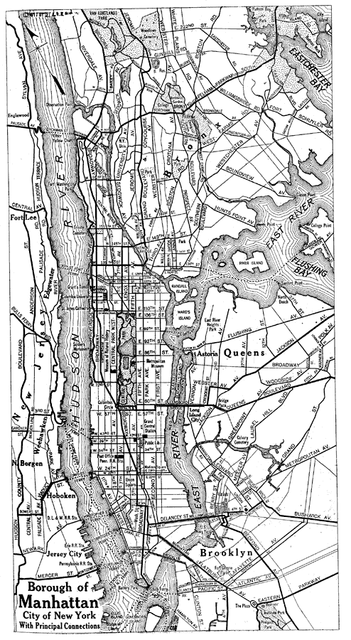
Description: A map of the Borough of Manhattan from the Official Automobile Blue Book (1919), showing the Hudson River, East River, principal streets and avenues, ferry crossings, bridges, and major landmarks.
Place Names: New York, New York City, �Manhatta
ISO Topic Categories: transportation,
location,
inlandWaters,
boundaries
Keywords: Borough of Manhattan, political, �physical, �transportation, kAutomobile, physical features, local jurisdictions, roads,
water routes, transportation,
location,
inlandWaters,
boundaries, Unknown, 1919
Source: The Automobile Blue Book Company, Official Automobile Blue Book 1919 Vol 2 (New York, NY: The Automobile Blue Book Publishing Co., 1919) 129
Map Credit: Courtesy the private collection of Roy Winkelman |
|