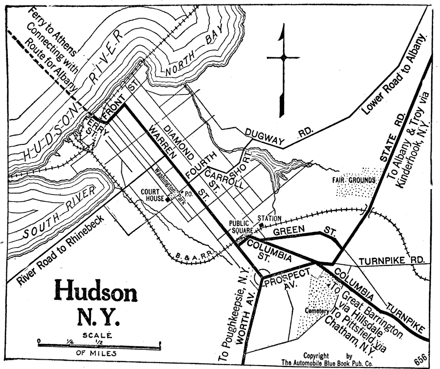
Description: A road map of Hudson, New York, from the Official Automobile Blue Book (1919), showing the Hudson River, principal roads, railroads and stations, ferry route, parks, cemeteries, and major landmarks.
Place Names: New York, Hudso
ISO Topic Categories: boundaries,
inlandWaters,
location,
transportation
Keywords: Hudson, New York, physical, �political, �transportation, kAutomobile, physical features, local jurisdictions, roads,
railroads,
water routes, boundaries,
inlandWaters,
location,
transportation, Unknown, 1919
Source: The Automobile Blue Book Company, Official Automobile Blue Book 1919 Vol 2 (New York, NY: The Automobile Blue Book Publishing Co., 1919) 176
Map Credit: Courtesy the private collection of Roy Winkelman |
|