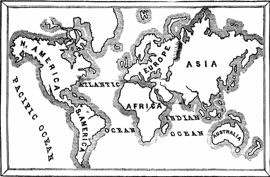
Description: A sketch map of the world from 1884 showing the continents and oceans.
Place Names: A Complete Map of Globes and Multi-continent, Africa, �Asia, �Australia, �Europe, �North America, �South Americ
ISO Topic Categories: oceans,
location,
inlandWaters,
boundaries
Keywords: The World as known in our own day, borders, �physical, �historical, country borders, oceans,
location,
inlandWaters,
boundaries, Unknown, 1884
Source: David B. Scott, A School History of the United States, from the discovery of America to the year 1880. (New York, NY: American Book Company, 1884) 2
Map Credit: Courtesy the private collection of Roy Winkelman |
|