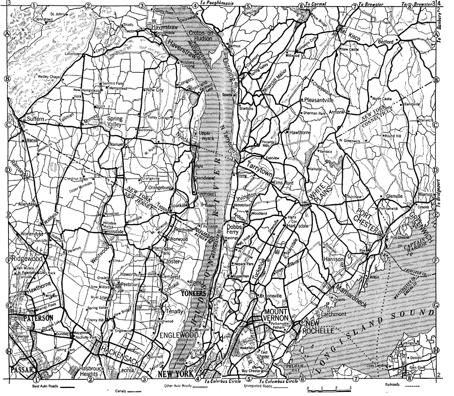
Description: Part of New England in 1919, showing roads.
Place Names: Middle Atlantic States, Tarrytown, �Paterson, �Hackensack, �New Yor
ISO Topic Categories: boundaries,
oceans,
inlandWaters,
location,
transportation
Keywords: Road Map of New England, political, �physical, �transportation, kAutomobile, physical features, major political subdivisions,
local jurisdictions, roads,
railroads,
water routes, boundaries,
oceans,
inlandWaters,
location,
transportation, Unknown, 1919
Source: The Automobile Blue Book Company, Official Automobile Blue Book 1919 Vol 2 (New York, NY: The Automobile Blue Book Publishing Co., 1919) 1086
Map Credit: Courtesy the private collection of Roy Winkelman |
|