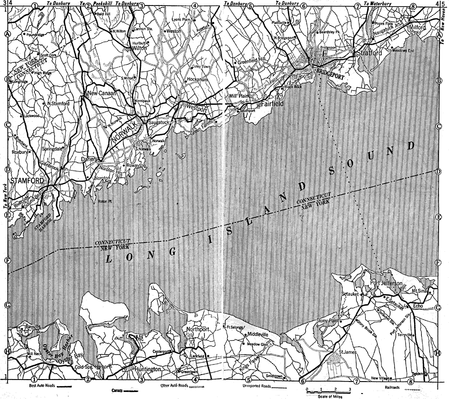
Description: Coastal Connecticut and Long Island in 1919, showing roads.
Place Names: New England States, Norwalk, �Northport, �Bridgeport, �Stratford, �Stamford, �Milford, �Connecticut, �New York Stat
ISO Topic Categories: boundaries,
transportation,
location,
inlandWaters
Keywords: Connecticut and Long Island, physical, �political, �transportation, kAutomobile, physical features, local jurisdictions, roads, boundaries,
transportation,
location,
inlandWaters, Unknown, 1919
Source: The Automobile Blue Book Company, Official Automobile Blue Book 1919 Vol 2 (New York, NY: The Automobile Blue Book Publishing Co., 1919) 1088-1089
Map Credit: Courtesy the private collection of Roy Winkelman |
|