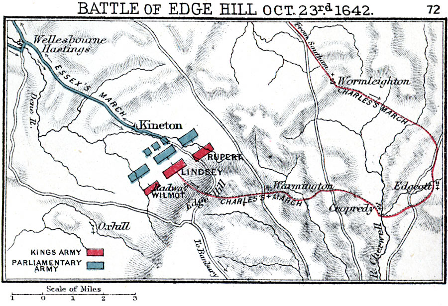
Description: A map of the Battle of Edge Hill on 23 October, 1642, in Warwickshire, England during the First English Civil War (1642–1646). The battle, between the Royalist army under Charles I of England and the Parliamentarian army under the Earl of Essex, had inconclusive results with no clear victor. The map is color–coded to show the march of Essex from Wellesbourne Hastings to Kineton and positions, and the overland march of Charles from Southam and positions of Rupert, Lindsey, and Wilmot. The map shows terrain, roads, rivers, and villages in the region.
Place Names: United Kingdom, Dene River, �Edge Hill, �Kineto
ISO Topic Categories: inlandWaters,
location
Keywords: Battle of Edge Hill, physical, �historical, �battle of edge hill, warmington, cropredy, edgecott, wormleighton, oxhill, kineton, wellesbourne, essex's march, lindsey, rupert, radway, wilmot, first english civil war, kBattle, physical features,
topographical, other military, inlandWaters,
location, Unknown, October 23, 1642
Source: Samuel Rawson Gardiner D.C.L., L.L.D., School Atlas of English History (London, England: Longmans, Green, and Co., 1914) 72
Map Credit: Courtesy the private collection of Roy Winkelman |
|
