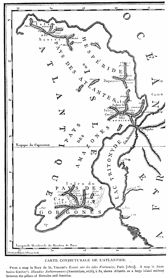
Description: A facsimile of a map from 1678 showing the mythical continent of Atlantis, subtitled "Carte Conjecturale de L'Atlantide." The map shows Atlantis as a large island between the Pillars of Hercules (Gibraltar) and America.
Place Names: Regional Atlantic Ocean, Atlanti
ISO Topic Categories: physical, kEarlyMapsFacsimile, kWorldAtlantic
Keywords: Atlantis, physical, kEarlyMapsFacsimile, physical features, physical, kEarlyMapsFacsimile, kWorldAtlantic, Unknown, 1678
Source: Justin Winsor, Narrative and Critical History of America Vol 1 (New York, NY: Houghton, Mifflin, and Company, 1889) 19
Map Credit: Courtesy the private collection of Roy Winkelman |
|